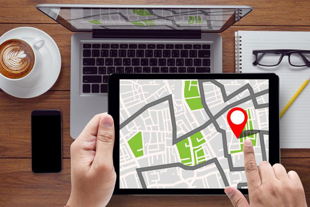
Tomtom GPS is a company well known for their traffic applications like navigation aids, maps, etc. One of their navigation aids is GO. The latest GO navigation aids seamlessly and integrates with smartphones. It can read out text messages and allows full use of the phone’s personal assistant. It can update the maps through the built in WiFi. Starting up and planning the route is very simple and fast. Magnetic mounts can be fixed on the dash and the GO can be docked into it. Alerts about latest fixed mobile speed cameras, and other alerts from other users about traffic conditions can be recorded in Tomtom traffic.
The company has long years of experience in analyzing traffic and that coupled with the information, users on the road give. This helps to update traffic and the same can be seen on Tomtom Traffic. It can be easily accessed and viewed on any device. This information allows for extremely hassle free driving, and maps can be updated any time at no additional cost.
The downloadable app, MY DRIVE, permits the user to pre-plan the route, check live traffic and save favorites on a smartphone or PC. Tomtom GO will pick up any destination or favorites set on MY DRIVE as soon as it powers on the car and connect your smartphone.
Destination can be set using phone, tablet or PC using a contact from the phone, or a favorite place already stored and sent it to Tomtom GPS device and get the exact route. The device will indicate a detailed route to the destination. The user can even personalize the map by tapping the location needed or typing them in. It can also be edited any time. There are three models to choose from and GO 520/620 is the most sophisticated.
The best devices for Motorcycles is called the Tomtom Rider 400. It has lifetime maps. Menus are available to set the most exciting roads. The user can set the levels of challenge and level of wilderness. One can choose to stay at sea level or climb the peaks to be determined by the user. One can even set new routes by tapping on the area on the map, highlight the areas and decide the duration of the trip.
Disclaimer:The content provided on our blog site traverses numerous categories, offering readers valuable and practical information. Readers can use the editorial team’s research and data to gain more insights into their topics of interest. However, they are requested not to treat the articles as conclusive. The website team cannot be held responsible for differences in data or inaccuracies found across other platforms. Please also note that the site might also miss out on various schemes and offers available that the readers may find more beneficial than the ones we cover.


